
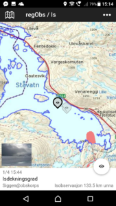
Steepness map with observations of avalanche, flood, ice and landslide. This service contains a huge amount of data.
The map is colour coded to show how steep the faces of the mountains are. This is great for planning trips and avoiding avalanche terrain.
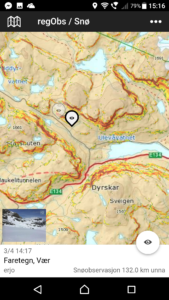
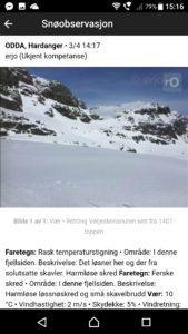
Avalanche recordings and observations can be seen on the map.
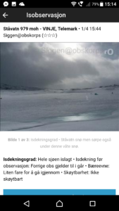
Ice thickness observations can be seen on the map.
Flood and landslide data can also be seen.
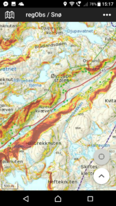
There is a web version an Android app and a iOS app.
www.regobs.no
![]()
